Biography
PhD Data Scientist with a background in Geoinformatics (MSc) and Computer Science (BSc) keen on solving complex scientific problems through the spatio-temporal analysis of GIS data collections. Currently, I have seven years of specialization in data analysis and machine learning in the fields of climate services and environmental modelling. During this period, citizen science observations have been at the core of my analytical activities, this is why I acquired a broad experience at integrating volunteered observations with heterogeneous geodata sources and modelling them with data-driven methods. In addition to my analytical skills, I am technically versatile, this is why I am comfortable at working with spatial databases, web services, sensor webs or performing GIS analyses. Having good communication skills and a good understanding of computers and algorithms, makes me an effective presenter, capable of conveying complex results to all audiences.
- Machine learning
- Climate services research
- Environmental Modelling
- Citizen Science
PhD in Geospatial Analytics, 2019
University of Twente
MSc in Geospatial Technologies, 2011
University Jaume I, University of Muenster
BSc in Computer Science Engineering, 2009
University Jaume I
Skills
90%
90%
90%
75%
10%
100%
Experience
Responsibilities include:
- Application of machine learning methods to assess the impact that severe weather events have on distinct socio-economic sectors
- Investigate the role of citizen weather observations to advance towards high-res weather forecast and crowdsourced numerical weather prediction
- Development of weather indicators based in citizen weather data to contribute to the design of an early warning system
Responsibilities include:
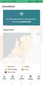
- Creating and improving data-driven models capable of estimating tick dynamics
- Developing novel models estimating, human exposure and risk of tick bites
- Lecturer in technical MSc subjects, with emphasis in programming and data analysis
Recent Posts
Projects
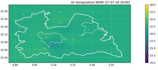
A quality-controlled data service of volunteered weather observations
In 2011, the UK Met Office launched a citizen science project intended to collect data from citizen weather stations (CWS) and, to date, the Weather Observations Website (WOW) project has collected over 1,400 million observations worldwide collected by over 17,000 CWS.
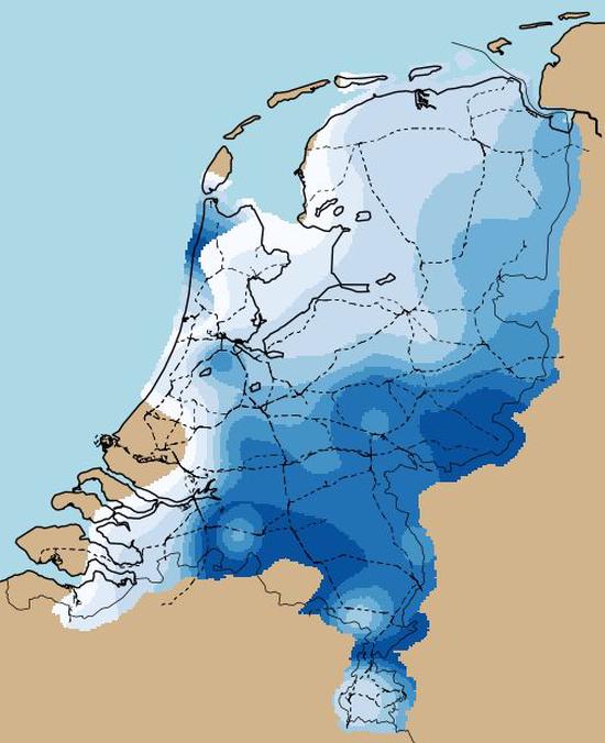
Detecting probability of ice formation on overhead lines of the Dutch railway network
Ice formation along the overhead lines is a potential source of infrastructure failure and transportation disruption. Modelling ice formation over structures is challenging because it may occur at a very local scale, often far away from measuring stations.
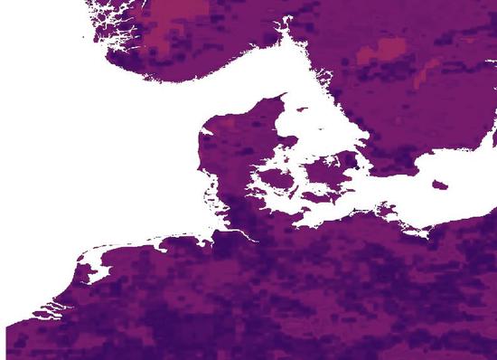
Gridding station-based wind observations
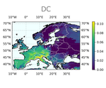
The European Climate Assessment & Dataset (ECA&D) collects high-quality observational datasets provided by 60+ participant countries. One of the products this organization provides is the E-OBS daily gridded observational dataset, which facilitates the access of the general public to long-term (1950-present) weather gridded layers.
Identifying risky locations for road accidents due to crosswind
Crosswind is a potential source of road accidents, especially for unloaded trucks. We joined forces with colleagues from the ILT and RWS datalabs to assess how feasible it is to build predictive models capable of identifying risky locations for truck accidents.
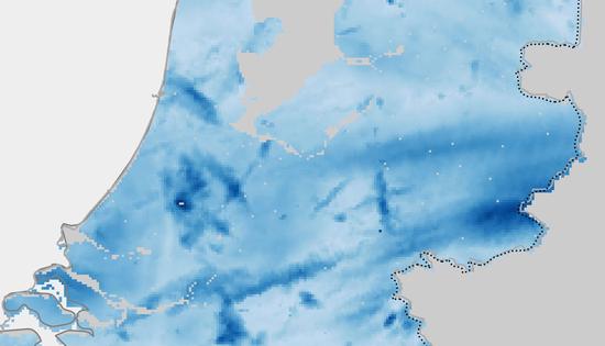
Statistics of extreme rainfall events over the road network
Short-duration extreme rainfall events have the potential of causing problems with a high-impact for the road infrastructure and its correct operation. This is why national agencies maintaining the road networks are interested in getting a statistical description for severe downpours, so they can manage the current infrastructure and new constructions keeping the chances of being affected by extreme rainfall low.
